Introduction to the Ushar Mukti Project Loka Kalyan Parishad
The project is a collaborative initiative of WB-MGNREGA, BRLF and local CSO partners to implement the projects in watershed development approaches covering 54 blocks of six districts of West Bengal State commonly known as the ‘Jungle Mahal region’. The project idea originates from the understanding that earlier watershed interventions continued to be patchy as the focus remained on individual households, rather than on an area approach. It was felt that there is an immediate need to implement the very concept of watershed and its imperatives such as comprehensive, ridge to valley treatments, hydrological considerations in treatment and community participation & ownership measures. Broadly a “watershed approach” is essential as management of rainwater and other natural resources over time and across space affects the production frontier or carrying capacity and its sustainability due to the terrain. It is understood that public investments through MGNREGA can accelerate the pace of development in areas broadly coming under ‘Jungle Mahal’ of West Bengal.
The population in the project area is predominantly rural with over 90% live in villages. A vast majority of small / marginal farmers including landless share croppers in the region would be keen to develop their farms and water bodies. Further, a large majority of SC and ST and unprivileged households would look forward to gain employment under MGNREGA. A major part of the region falls under the sub-basin of the river systems formed by Dwarkeshwar-Shilabati and Kangsabati rivers. These three rivers and their tributaries drain off about 80% of water from the region. The target region forms the lowest ridges of the Chotanagpur Plateau characterized by rolling topography with intermittent sharp undulations or hill formations. About 23% of the total area is under forest cover. Region receives 1000 to 1400 mm of rainfall annually. An overwhelming majority of the population earn their living from Agriculture. Farming is predominantly rain fed with only 16% of the Net Sown Area under irrigation. About 45% of rural households in the region belong to BPL category with high incidences of poverty among ST and SC communities.
150 macro-watersheds or 1500 Micro-watersheds amounting to an estimated 7.50 Lakh ha. of catchments in the upper ridges would be treated under the proposed project. Livelihoods of approximately 5 Lakhs households will be positively impacted by the treatments. Out of this about 80% households belong to ST, SC and OBC Communities. Treatment measures would be undertaken to improve the hydrology of the area, thereby triggering growth in farming. Considering the vast number of `job seekers’ in the region already enlisted under MGNREGA, the State may complete the treatments in the next 5-7 years.
The population of the project area under Paschim Burdwan (5 blocks) is socially & economically transformed as peri-urban in nature.Priority livelihood activities are wage earning in manufacturing industry, coal mines & service sector jobs. Land based farming is mostly secondary in priority livelihood, though the rising demand of fruits, vegetable, meat & egg, fish commercial, market farming is getting importance within neo education youth. However, three villages which have 30% + tribal households depend on land based subsistence agriculture, animal farming & forest based activities.
In the blocks of Neturia & Santuri of Purulia district depend largely on land based farming, animal rearing & minor forest produce. A good nos. of male folk engaged in coal quaring activities and prone to seasonal migration.
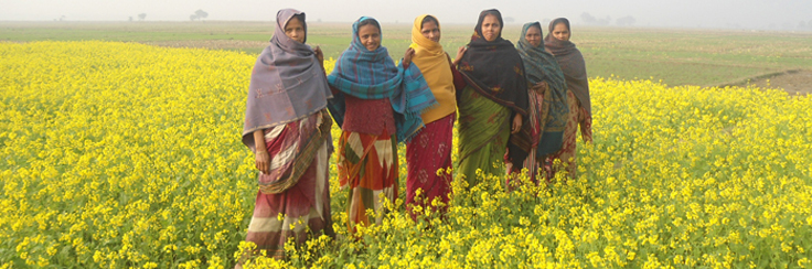
Women community of the project area are involved in housekeeping &agro based (cultivation& animal rearing) activities.
Whatever the water bodies exist at the project area mostly remains untapped excepting use of irrigation water. Scientific demo of aquaculture may create interest on aqua crop development. Agro forestry, green fodder, (both green grass & tree) fruit culture remains neglected in the area.